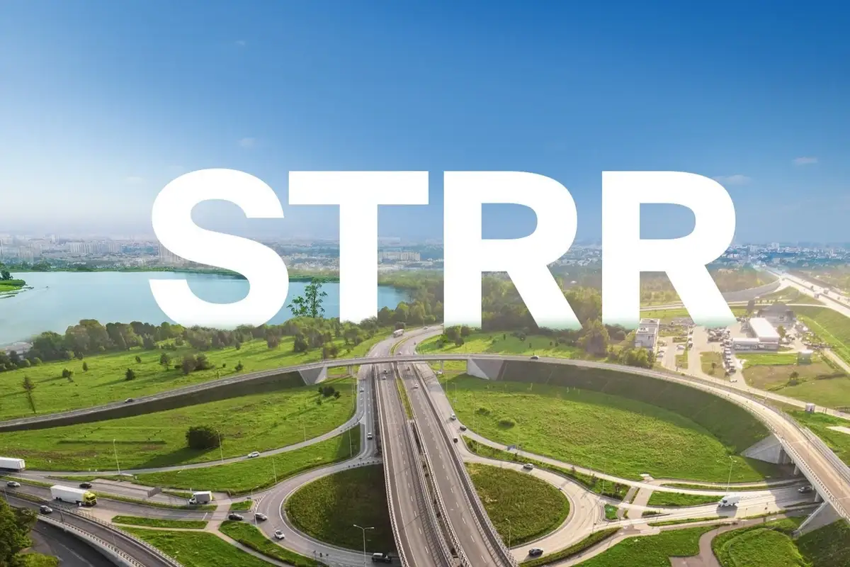
Satellite Town Ring Road (STRR) Connectivity and Its Impact on NVT A Wonderful World
Register / Book Your Site Visit
Experience the unique quality of NVT for yourself. Register now to receive customized project insights or set up a guided tour of our site.
What Is the Satellite Town Ring Road (STRR)?
The Satellite Town Ring Road, commonly known as STRR, is a proposed road network by the Government of Karnataka that aims to create a four- to six-lane ring around the outer satellite towns of Bengaluru. With a planned length of around 280 to 300 kilometers, the STRR will connect key locations such as Doddaballapur, Devanahalli, Hoskote, Sarjapur, Anekal, and Attibele, establishing an orbital corridor that complements the existing road systems in the city.
Unlike the Outer Ring Road (ORR), which mainly serves intra-city traffic and IT corridors, the STRR is focused on improving inter-town and inter-district travel. This will be especially useful for logistics, industrial traffic, and long-distance commuters who want to avoid the hustle and bustle of central Bengaluru.
Location Context: NVT A Wonderful World and STRR Alignment
NVT A Wonderful World is situated along the Sarjapur Attibele Road corridor, an area recognized as part of Bengaluru’s southern and south-eastern growth belt. This corridor is conveniently positioned near the planned STRR alignment that will connect Sarjapur, Anekal, and Attibele, ensuring the project is influenced by long-term transport planning rather than just short-term road expansions.
The Sarjapur–Attibele Road connects:
- Sarjapur Road (which links to the ORR and eastern IT hubs)
- Attibele and Hosur Road (NH 44 towards Electronic City and Hosur)
- Future infrastructure like the STRR
This prime location provides NVT A Wonderful World with access to multiple transportation routes, rather than being dependent on a single main road.
Proximity to STRR, NH 44, and Key Regional Connectors
The Sarjapur-Attibele Road corridor, home to NVT A Wonderful World, is nestled within the southern STRR influence zone. It connects Sarjapur to Anekal and Attibele, forming part of the planned orbital network. On the Attibele side, this corridor also links to National Highway 44 (NH 44), which is Bengaluru’s main north-south route connecting Electronic City, Hosur, and extending towards Tamil Nadu.
This strategic location facilitates regional travel in various directions:
- Toward Sarjapur Road and eastern Bengaluru via Sarjapur
- Toward Electronic City and Hosur Road through Attibele and NH 44
- Toward other satellite towns with future STRR connectivity
Instead of being just a single access road, the Sarjapur–Attibele stretch acts as a vital connector, merging local roads with national highways and the planned ring-road infrastructure.
This kind of multi-corridor access is typically found in areas that are planned for long-term residential and employment growth, rather than just short-term suburban development.
How STRR is Transforming Regional Connectivity
STRR aims to tackle a significant challenge in Bengaluru’s road system: the need for better orbital connections between satellite towns.
Here are some key connectivity improvements brought about by STRR:
Travel from Sarjapur to Devanahalli without entering the city
This allows for seamless movement between the south-east and north Bengaluru areas without relying on ORR or CBD routes.
Attibele and Anekal gaining access to eastern industrial zones
This means quicker travel to Hoskote, logistics hubs near Whitefield, and various manufacturing clusters.
Enhanced freight and logistics routing
Heavy vehicles will be redirected away from city streets, helping to ease congestion on ORR and NICE Road.
For residential areas like NVT A Wonderful World, this translates to a more balanced distribution of connectivity rather than funneling everything toward a single employment hub.
STRR and the Sarjapur Attibele Growth Corridor
The Sarjapur Attibele area has become a key transition zone that connects:
- The residential growth from Sarjapur Road
- Industrial and job hubs around Electronic City, Hosur, and Anekal
- Upcoming infrastructure projects like STRR
With STRR either crossing or running alongside this area, the corridor plays a crucial role as a link between Bengaluru’s southern and eastern satellite regions. In the past, similar infrastructure corridors in Bengaluru, like NICE Road, have transformed land use by drawing in gated communities, warehouses, and commercial activities near their access points.
STRR vs ORR: Understanding the Difference
It’s crucial to understand how STRR differs from the existing ring roads:
| Aspect | ORR | STRR |
|---|---|---|
|
Function |
Intra-city IT corridor |
Inter-town orbital corridor |
|
Traffic type |
Office & daily commute |
Regional, freight, long-distance |
|
Congestion profile |
High |
Designed to ease congestion |
|
Development focus |
Commercial offices |
Residential, logistics, industry |
For NVT A Wonderful World, STRR doesn’t replace Sarjapur Road or ORR access; it serves as an additional layer for regional mobility.
Long-Term Accessibility vs Short-Term Commute Impact
When we look at STRR, it’s essential to consider its effects over a medium- to long-term perspective.
What STRR provides:
- Greater access to multiple job corridors
- Less dependence on a single route leading to the city
- Enhanced travel efficiency between nearby towns
However, it’s crucial to acknowledge what STRR doesn’t ensure right away:
- A short-term drop in peak-hour traffic in the city
- Direct access to every location without feeder roads
- Consistent timelines for completion across all segments
Understanding these differences is crucial for setting realistic expectations for buyers. Also notable is that the Satellite Town Ring Road is being built in several phases, and the timelines for completion differ for each segment depending on factors like land acquisition, approvals, and execution schedules.
Infrastructure-Led Development Around STRR
In Bengaluru, the development driven by government-led ring roads has followed some familiar patterns:
- Residential communities emerging near junctions and feeder roads
- Industrial and logistics parks developing along stretches with good highway access
- A steady improvement in social infrastructure as the population increases
STRR is designed with a similar goal in mind. The areas adjacent to its alignment, such as Sarjapur Attibele Road, are expected to undergo planned, phased urbanization rather than haphazard sprawl.
Evaluating STRR Connectivity for Residential Buyers
When it comes to making decisions about where to live, STRR connectivity plays a significant role in several ways:
- Geographic flexibility: it opens up access beyond just one IT corridor.
- Future resale potential: it creates a wider pool of demand over time.
- Infrastructure reliability: STRR is integrated into state-level transport planning, rather than being just a private road project.
Although the timelines for execution are phased, being close to this kind of infrastructure is usually a key consideration in long-term residential planning.
STRR Within Bengaluru’s Broader Transport Network
The STRR seamlessly connects with:
- State highways that link to satellite towns
- National Highway 44 close to Attibele
- Existing major roads like Sarjapur Road
This multi-layered connectivity helps to lessen the dependence on any one corridor and encourages balanced growth throughout the outskirts of Bengaluru.
Understanding STRR Connectivity - What It Really Means and What It Doesn’t
What it means:
- Better travel options between towns
- Support for government-planned growth areas
- Improved long-term access across the region
What it does not mean:
- Quick fixes for your daily commute
- Set completion dates for every part of the project
- No more reliance on local roads
Summary: STRR Connectivity and NVT A Wonderful World
Situated along the Sarjapur–Attibele Road and near the future Satellite Town Ring Road, NVT A Wonderful World is perfectly placed within a corridor designed by regional infrastructure planning. The STRR improves connectivity by connecting Sarjapur to other satellite towns such as Anekal, Attibele, Hoskote, and Devanahalli, all without funneling traffic through central Bengaluru.
For potential buyers looking at long-term livability and accessibility, STRR provides a structural edge that aligns with Bengaluru’s outward growth. Its importance lies not just in immediate commuting benefits, but in how residential areas will fit into a wider, decentralized urban network over time.
Frequently Asked Questions on STRR Connectivity & NVT A Wonderful World (FAQs)
1. How does the Satellite Town Ring Road (STRR) enhance access to NVT A Wonderful World?
The STRR helps reduce reliance on Bengaluru’s busy inner roads by making travel around the outskirts much smoother. For NVT A Wonderful World, this translates to easier access from Sarjapur Road to the growing southern and eastern areas, all without having to navigate through the usual traffic jams at city junctions.
2. Is NVT A Wonderful World directly linked to the Satellite Town Ring Road?
The project is conveniently situated near the STRR alignment in the Sarjapur–Attibele area, which means that once the operational sections are up and running, residents will enjoy much better regional connectivity.
3. Will STRR reduce travel time from Sarjapur Road in the long term?
STRR is designed to redirect inter-city and freight traffic away from the city’s roads, which will gradually help to ease congestion on key routes like Sarjapur Road, enhancing overall travel efficiency.
4. Does STRR benefit daily commuters or only long-distance travel?
STRR mainly caters to regional and inter-city travel, but daily commuters will also enjoy some benefits as the traffic on Sarjapur Road and nearby junctions decreases.
5. How does STRR differ from NICE Road or ORR?
STRR acts as a much larger outer ring that connects satellite towns, while NICE Road and ORR cater to inner-city and peri-urban traffic. STRR is all about enhancing regional connectivity instead of just focusing on commuting within the city.
6. Which areas become easier to access from NVT A Wonderful World because of STRR?
Thanks to STRR, places like Attibele, Anekal, and the Hosur-side corridors become more accessible, along with other satellite towns. It also facilitates smoother access to the eastern and northern regions of Bengaluru via peripheral routes.
7. Is STRR already operational near Sarjapur Road?
STRR is being developed in phases. Some parts are already operational or in advanced stages, while others are still in the planning phase. As more segments open up, the connectivity benefits will gradually increase.
8. Does STRR affect long-term property values in Sarjapur?
Large infrastructure projects like STRR generally support long-term regional growth by enhancing accessibility, attracting commercial development, and improving connectivity for satellite towns along corridors like Sarjapur.
9. Should buyers keep STRR in mind when evaluating NVT A Wonderful World?
Yes, while STRR may not have an immediate effect on daily travel, it’s a key infrastructure element that enhances long-term connectivity and future accessibility in the Sarjapur area.
Recent Blogs
- How Close Is NVT A Wonderful World to SWIFT City Sarjapur?
- Bangalore Chennai Expressway: What It Means for Growth Near NVT A Wonderful World
- Top International Schools in Sarjapur Road Near NVT A Wonderful World (2026 Guide)
- Is NVT Quality Lifestyle a Good Builder? Reviews, Reputation & Projects in Bangalore (2025)